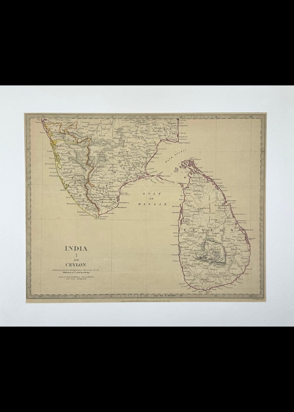

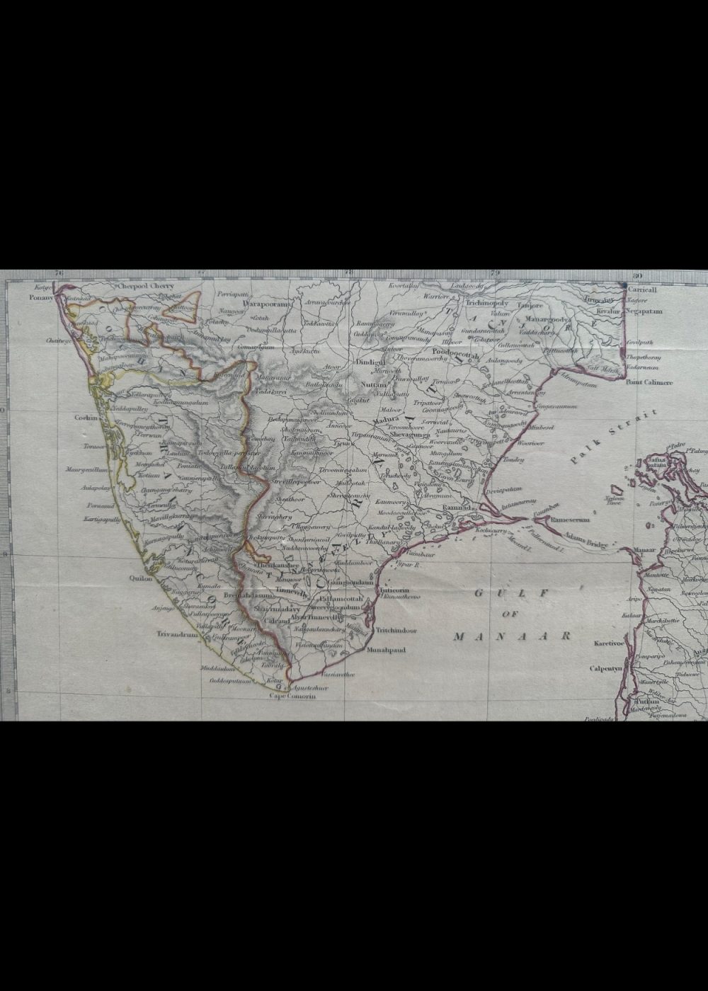
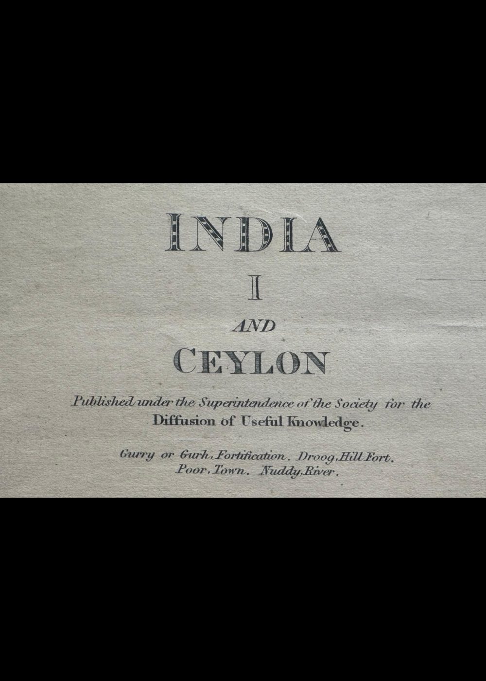
INDIA I AND CEYLON
Product Details:
Artist or Maker: UNKNOWN
Map Mounting Size (inches): 13.98 (L) x 16.93 (W) / (cm): 35.5 (L) x 43 (W)
Map Image Size (inches): 10.35 (L) x 13.43 (W) / (cm): 26.3 (L) x 34.1 (W)
Please Note:
All prices are inclusive of taxes.
All orders are fully insured during transit for added protection.
This item is not eligible for shipping outside of India.
₹24,999.00
In stock
Description
Returns / Shipping
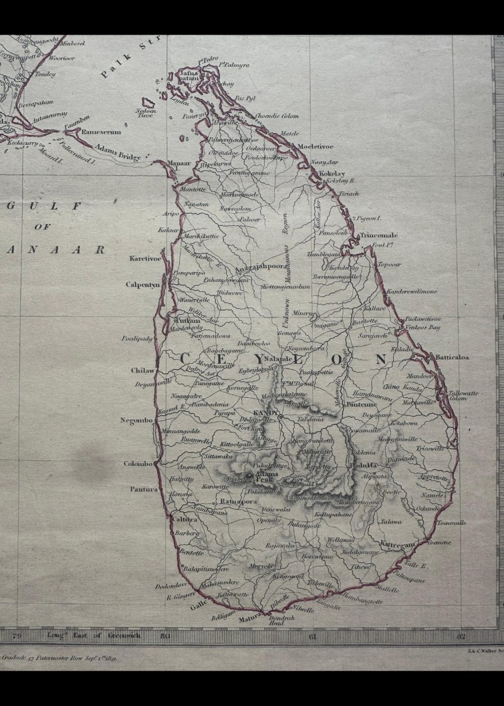
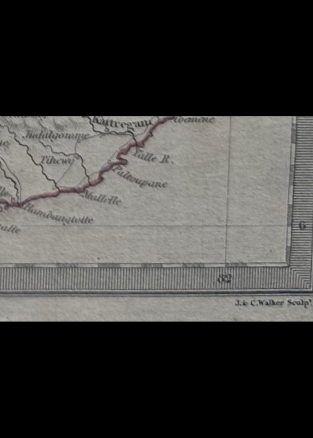
This is a historical map titled “India and Ceylon”, depicting the southern part of India and the island of Ceylon (now Sri Lanka). Created under the auspices of the Society for the Diffusion of Useful Knowledge, it features detailed geographical elements such as cities, rivers, and mountain ranges, along with latitude and longitude markers. The map offers a fascinating glimpse into the region’s historical geography and political boundaries.
Product Details
| Artist or Maker | UNKNOWN |
| Map Mounting Size | (inches): 13.98 (L) x 16.93 (W) / (cm): 35.5 (L) x 43 (W) |
| Map Image Size | (inches): 10.35 (L) x 13.43 (W) / (cm): 26.3 (L) x 34.1 (W) |
Returns / Shipping
Returns
We accept returns within 7 days of delivery, provided the item is received in a damaged condition.
Shipping
- Shipping charges are additional and will be calculated based on the delivery address.
- All orders are fully insured during transit for added protection.
- Please note: This item is not eligible for international shipping and can be delivered within India only.