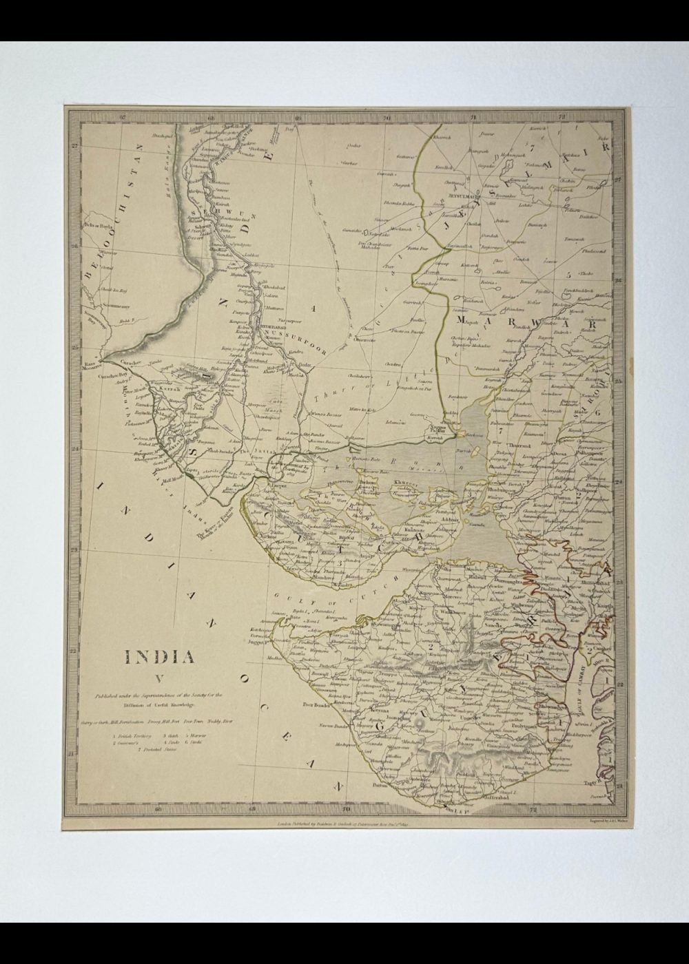
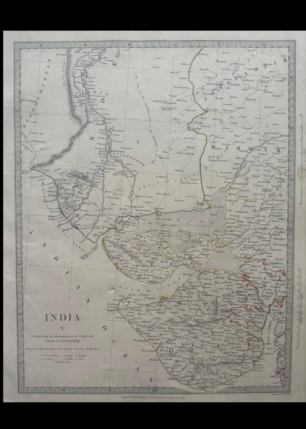

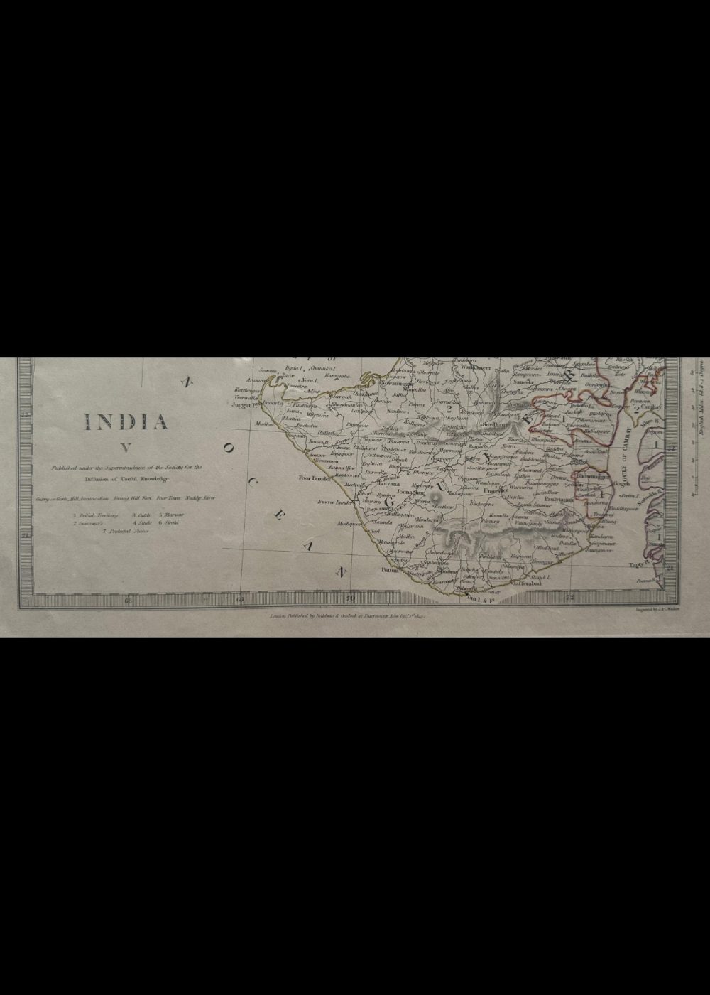
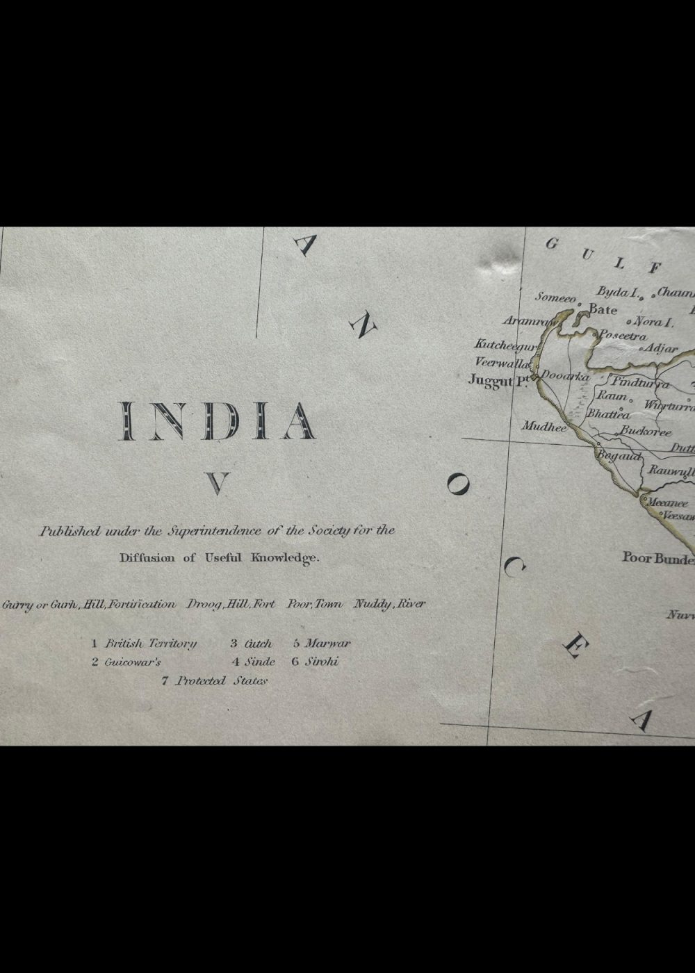
INDIA V
Product Details:
Artist or Maker: UNKNOWN
Map Mounting Size (inches): 17.72 (L) x 13.98 (W) / (cm): 45 (L) x 35.5 (W)
Map Image Size (inches): 14.02 (L) x 11.1 (W) / (cm): 35.6 (L) x 28.2 (W)
Please Note:
All prices are inclusive of taxes.
All orders are fully insured during transit for added protection.
This item is not eligible for shipping outside of India.
₹24,999.00
In stock
Description
Returns / Shipping
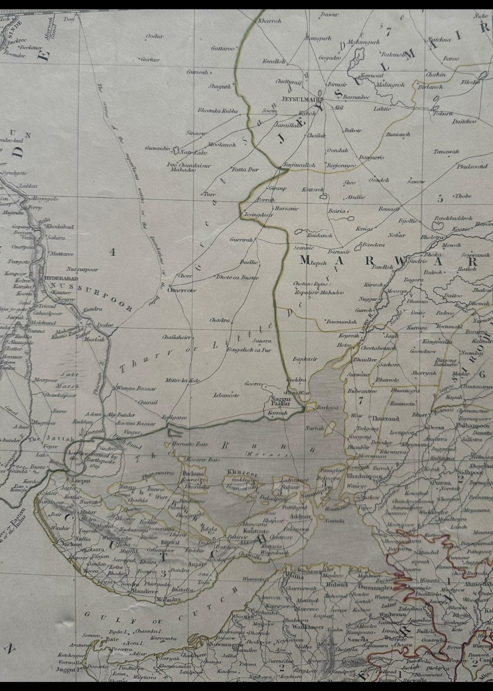
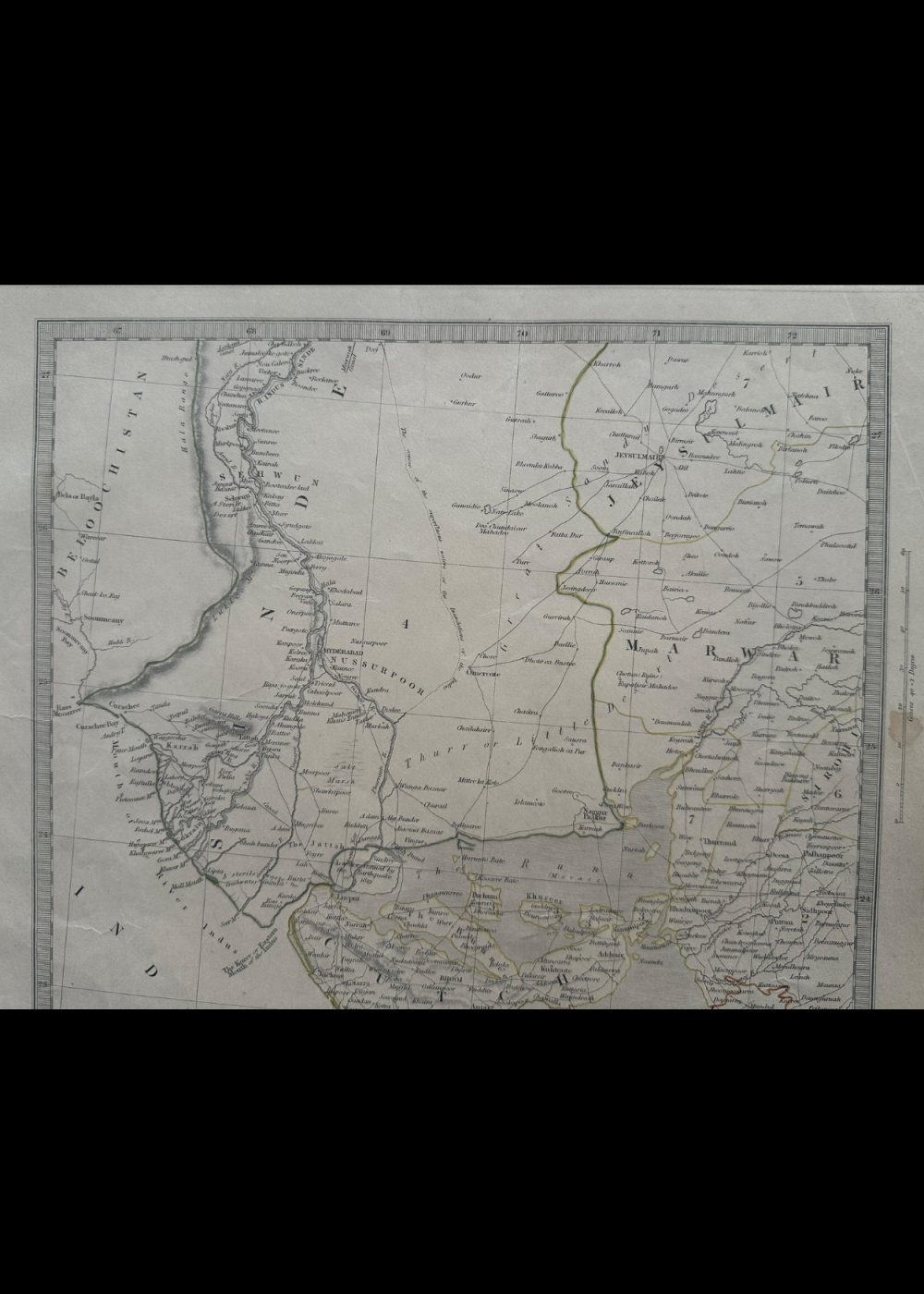
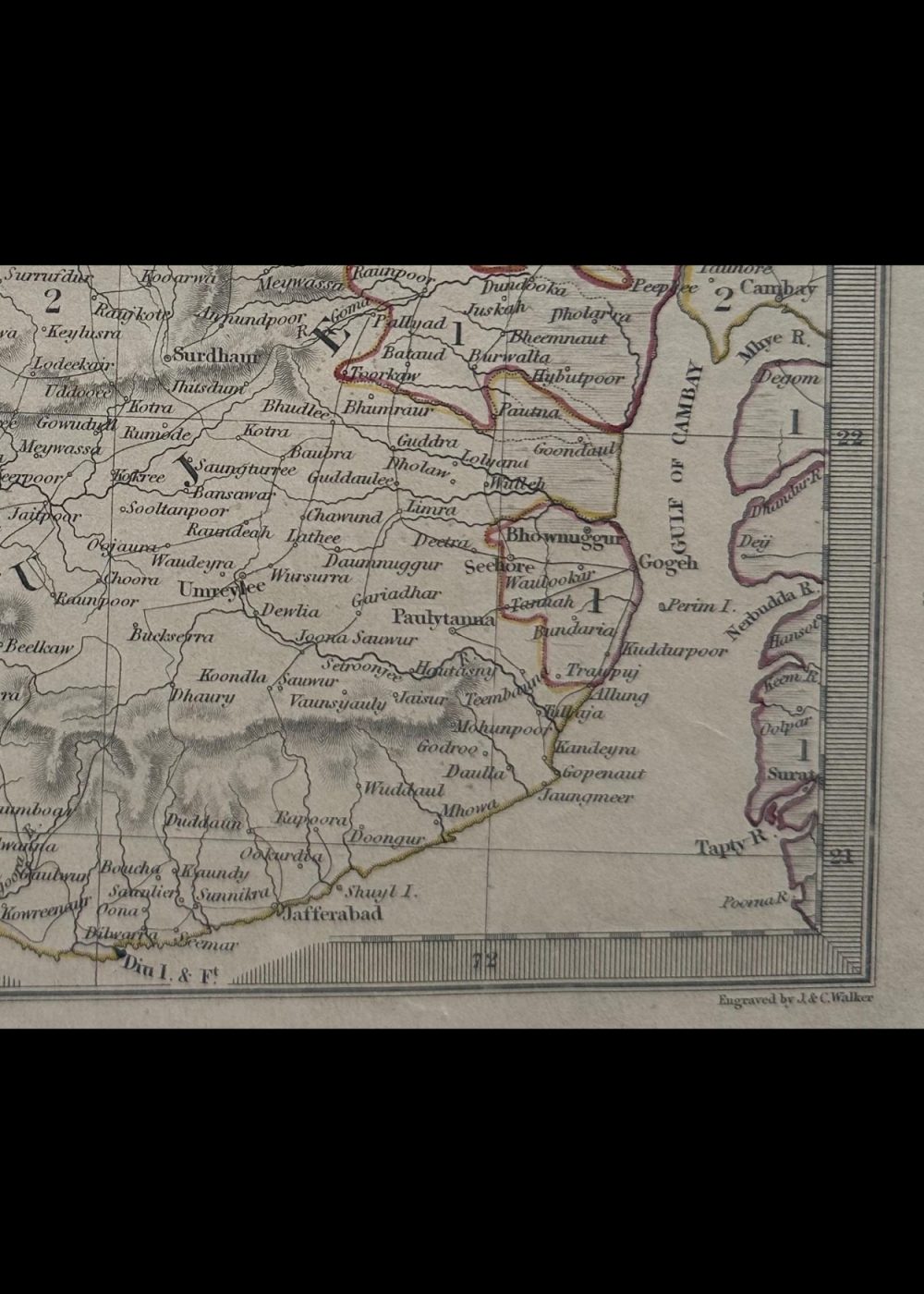
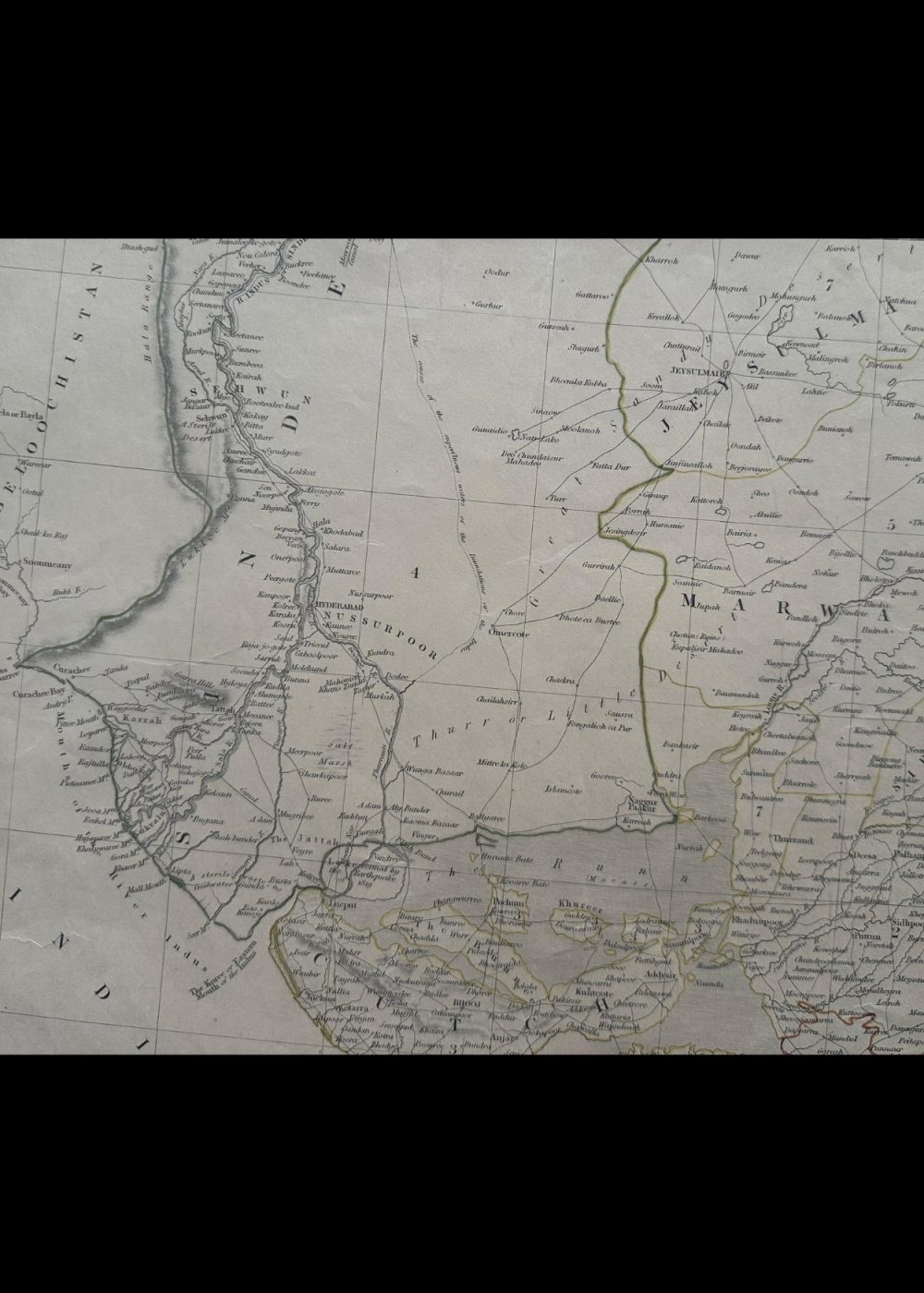
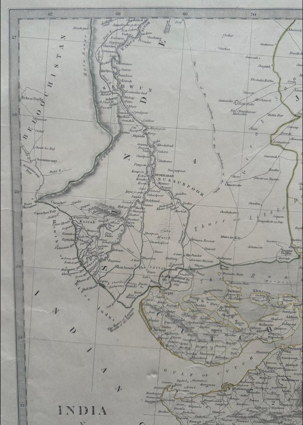
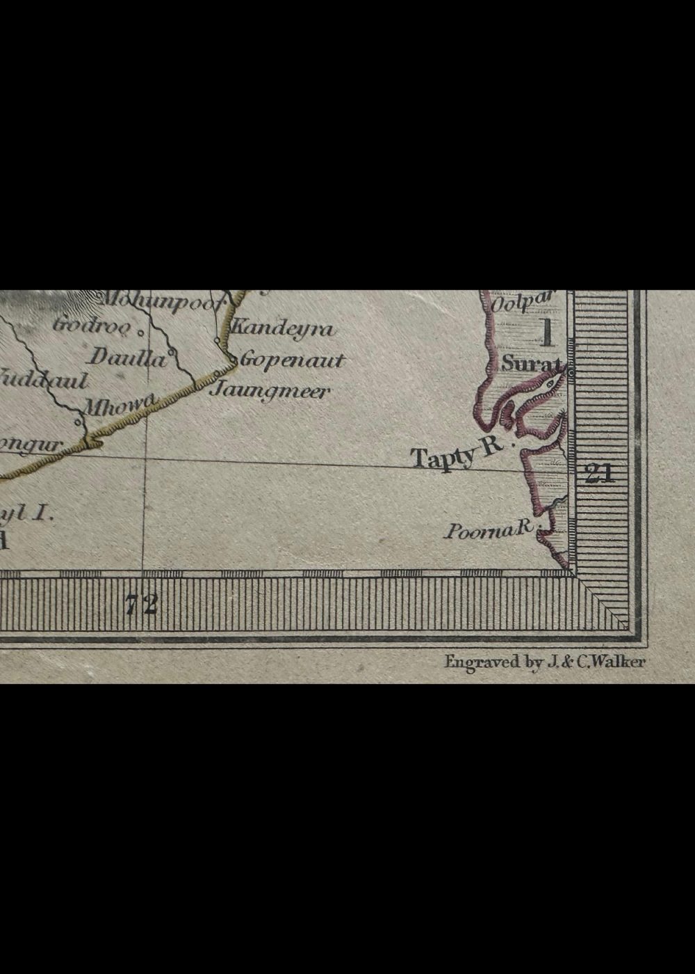
This is a historical map of India, originally published on November 1, 1832, under the supervision of the Society for the Diffusion of Useful Knowledge. The map illustrates colonial-era India with detailed annotations of regions, cities, rivers, and territorial boundaries as they were known in the early 19th century. It also includes parts of present-day neighboring areas like Sindh and Gujarat, with the Indian Ocean forming its southern border. The document serves as a rich glimpse into the geographical and political landscape of British India during that era.
Product Details
| Artist or Maker | UNKNOWN |
| Map Mounting Size | (inches): 17.72 (L) x 13.98 (W) / (cm): 45 (L) x 35.5 (W) |
| Map Image Size | (inches): 14.02 (L) x 11.1 (W) / (cm): 35.6 (L) x 28.2 (W) |
Returns / Shipping
Returns
We accept returns within 7 days of delivery, provided the item is received in a damaged condition.
Shipping
- Shipping charges are additional and will be calculated based on the delivery address.
- All orders are fully insured during transit for added protection.
- Please note: This item is not eligible for international shipping and can be delivered within India only.